The Winooski Watershed
Healthy Rivers
Learn how to keep our rivers and streams healthy, from source to sea!
Ecology of Dog Poop
Learn all about this one, smelly example of how what happens upstream affects everything downstream in this interactive storymap.
Stormwater Problems
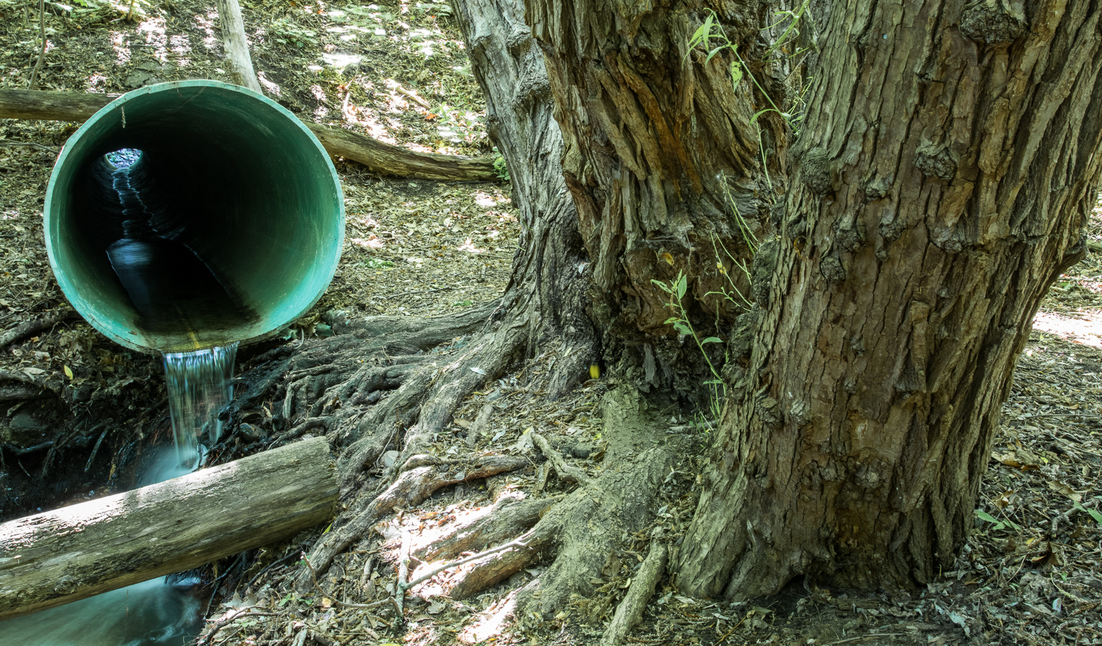 If storms are natural, stormwater must be too, right? Not necessarily. Rainfall in a natural setting is absorbed into the soil like water into a sponge. But when rain falls on pavement, rooftops, or compacted ground, it instead rushes quickly to a nearby stream or storm drain. The larger the impervious area, the more stormwater is created. Powerful surges cause erosion, flooding, and infrastructure damage, while picking up all sorts of stuff along the way like fertilizers, road salt, pesticides, dog poop, and vehicle fluids. Major stormwater events can overwhelm city sewers, causing sewage to discharge right into the river! As a result, water quality at river mouths or confluences can be much worse than upstream.
Abenaki Language
Nebi: water
Sibo: river (literally "it extends.")
Panel Text - English
Where did this water come from? Where is it going?
A watershed is any area of land that drains all its water (nebi) to a common destination. Here at NBNC you are standing in the Winooski River watershed. The water flowing past you fell as rain or snow on the mountains, forests, and farms of Worcester, Calais, and Elmore, then drained down tributary streams into the North Branch. From here, this water will join the main branch of the Winooski River in downtown Montpelier and then extend into Lake Champlain in Colchester.
Lake Champlain drains north, so this water will eventually leave Vermont and flow through Quebec along the Richelieu River and into the Saint Lawrence River. Finally, it will flow into the Atlantic Ocean.
Experience the Water
Head down this side trail to Otter Rock for an up-close encounter with the North Branch. Notice how the water looks, sounds, smells, and feels. Is it warm or cold, fast or slow, freezing or thawing? What sound is the river (sibo) making today? Do you see anything floating down the river? Notice how much water is in the river today, and how the water level has changed since your last visit.
Sibo means river in Abenaki, or literally "it extends."
Panel Text - Spanish
La Cuenca del Winooski
¿De dónde vino esta agua? ¿Para dónde va?
Una cuenca es cualquier área de tierra que drena toda su agua (nebi) a un destino común. Aquí en NBNC estás parado en la cuenca del Río Winooski. El agua que pasa cerca de ti cayó como lluvia o nieve en las montañas, bosques, y granjas de Worcester, Calais, y Elmore, y dreno por las corrientes tributarias al Brazo Norte (North Branch). De aqui, esta agua se unirá al brazo principal del Río Winooski en el centro de Montpelier y después fluye hacia el Lago Champlain en Colchester.
El Lago Champlain drena al norte, así que esta agua saldrá eventualmente de Vermont y fluirá por Quebec sobre el Rio Richelieu y después al Rio Sain Lawrence. Finalmente, se unirá al Océano Atlántico.
Experimenta el Agua
Bajen este caminito a la Piedra de la Nutria (Otter Rock) para un encuentro cercano con el Brazo Norte (North Branch). Observen como se ve, huele, y cómo se siente el agua. ¿Está tibio o helado, rápido o lento, congelado o descongelado? ¿Cual es el sonido que hace el río (sibo) hoy? ¿Ves algo flotando por el río? Observa cuánta agua hay en el río hoy, y comparalo a tus otras visitas.
Sibo significa río en Abenaki, o literalmente “se extiende.”
Panel Audio - English
Panel Audio - Spanish
(Translations by Onel Salazar)

713 Elm Street
Montpelier, Vermont 05602
(802) 229-6206
Hours: Center Open Monday-Friday 9-4
Trails Open 24/7