

Universal Access Trail
Originating at the parking lot trailhead pavilion, this trail meanders around the meadows and Community Garden in a loop with beautiful views and excellent access to nature and wildlife watching.
- Length: 0.3-mile loop
- Surface & Features: Compacted crushed stone. Variable surface in winter. Three benches.
- Tread Width: Typically 5', minimum 3'
- Grade: Typically 0%, maximum 6%
- Cross-slope: Typically 0-2%, maximum 6%
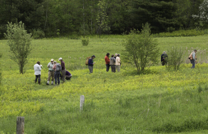
Other Trails
NBNC's grassy paths are a great place to enjoy the meadows and river. These mostly-flat trails explore the meadow perimeter. Head over the bridge to access many more miles of the Montpelier and East Montpelier trail system.
- Length: 0.9 miles of trails, not including UA Trail.
- Surface & Features: Mowed grass and compacted dirt. Variable in winter. One 5' wide boardwalk. Several benches.
- Tread Width: Typically 4', minimum 2' (on side trails)
- Grade: Typically 0%, maximum 9% over two 40 ft sections.
- Cross Slope: Typically 0-2%, maximum: 8% (occasional)
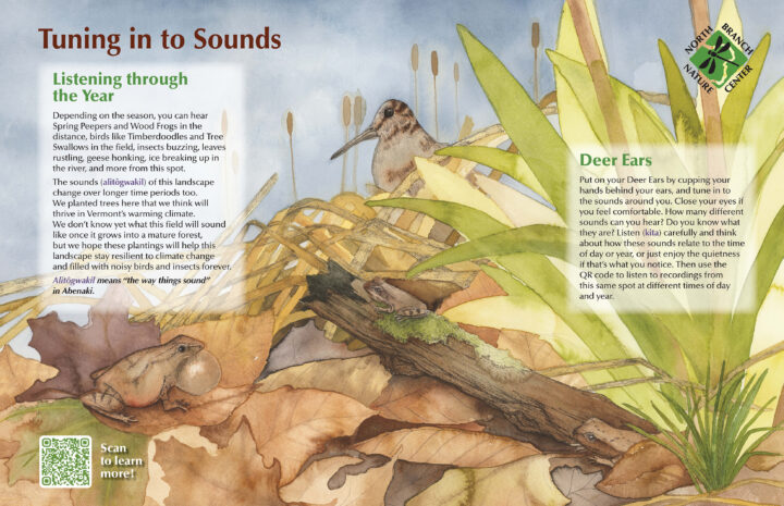
Nature Connection Trail
The Nature Connection Trail comprises a series of eight interpretive panels around the trail network. Along the trail, we invite you to tune in to what you see, hear, feel, smell, and even taste, as you follow this trail and learn about the waters, ecosystems, and inhabitants of this land, past and present.

NBNC Trail Map
The full trail map of the NBNC landscape.
Montpelier City Parks Trail Map
The NBNC trails connect into the Hubbard Park and North Branch River Park trail networks. Visit the Montpelier Parks Department’s regional trail map below.
North Branch Community Garden
NBNC is proud to host the North Branch Community Garden. This group welcomes visitors to walk through the garden gates and and enjoy the space (just please don’t pick anything without permission). If you would like to learn more about the garden, including reserving a plot, visit their website below.